
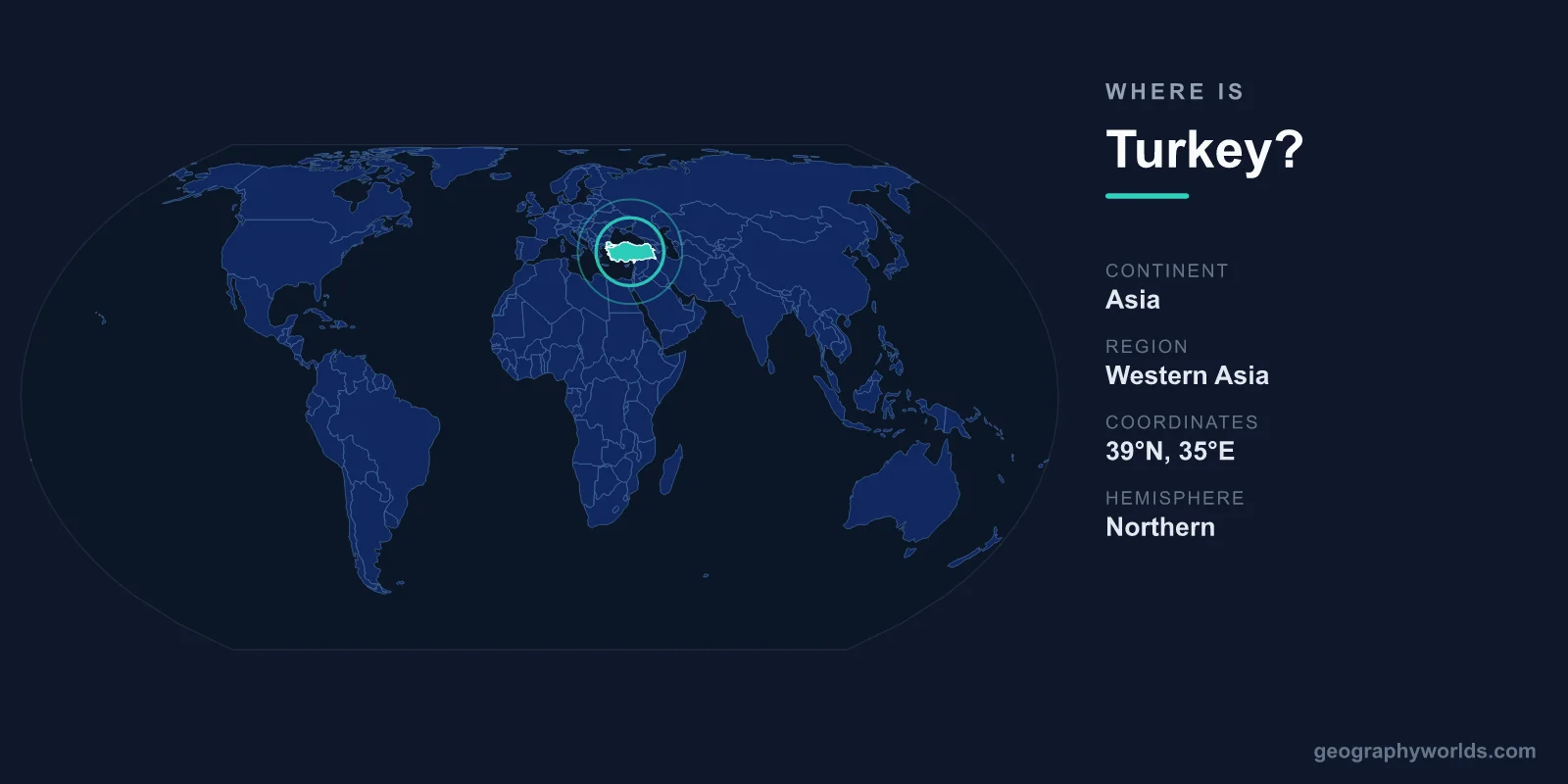
Turkey lies at the meeting point of two continents, with roughly 97% of its territory in Western Asia (the Anatolian peninsula) and the remaining 3% in Southeastern Europe (Eastern Thrace), separated by the narrow Bosphorus and Dardanelles straits. This transcontinental position, spanning the Northern and Eastern Hemispheres, makes Turkey one of the few countries on Earth that genuinely belongs to two continents at once.
Where Turkey Sits on the Map
Turkey occupies a broad landmass stretching east to west between roughly 26° and 45° east longitude, and between about 36° and 42° north latitude. Its capital is Ankara, located in the central Anatolian highlands, while its largest and most famous city, Istanbul, sits directly on the European-Asian divide. The country covers a total area of 783,562 km², comparable in size to mainland France, and is home to roughly 85 million people.
To picture Turkey's place in the world, imagine a bridge linking the European Union to the west, the Middle East to the south and southeast, the Caucasus to the northeast, and the Black Sea coast curving along its north. Few nations sit at such a deliberate crossroads of regions and cultures.
The Bosphorus: Where Europe Meets Asia
The most defining geographic fact about Turkey is the way it straddles two continents. The Bosphorus strait, a waterway only about 700 metres wide at its narrowest, slices through the heart of Istanbul. Stand on one bank and you are in Europe; cross a bridge or take a short ferry and you arrive in Asia. The Bosphorus connects the Black Sea to the Sea of Marmara, which in turn links to the Mediterranean through the Dardanelles strait further southwest.
These straits are among the busiest and most strategically important shipping lanes in the world, controlling all maritime traffic between the Black Sea and the wider oceans. This is why empires from the Byzantines to the Ottomans built their capitals here, and why the city was historically known as Constantinople.
Countries That Border Turkey
Turkey shares land borders with eight countries, reflecting its role as a regional hub. These neighbors span three different geographic zones, giving Turkey unusually varied diplomatic and cultural ties.
- Greece and Bulgaria – its European neighbors to the northwest, in the Eastern Thrace region
- Georgia – to the northeast, along the Black Sea and Caucasus
- Armenia and Azerbaijan – to the east, bordering the Caucasus highlands
- Iran – along the rugged mountainous eastern frontier
- Iraq and Syria – to the south and southeast, in the Middle East
In addition to these land borders, Turkey is surrounded by sea on three sides: the Black Sea to the north, the Aegean Sea to the west, and the Mediterranean Sea to the south. This gives the country thousands of kilometres of coastline and a maritime reach in every direction.
The Landscape of Turkey
Because Turkey is so large and transcontinental, its terrain is remarkably diverse. The interior is dominated by the Anatolian Plateau, a high, semi-arid heartland ringed by mountains. The Pontic Mountains run along the Black Sea coast in the north, while the Taurus Mountains line the Mediterranean in the south. In the far east rises Mount Ararat, the country's highest peak at 5,137 metres, traditionally linked to the legend of Noah's Ark.
This range of elevations creates many distinct climate zones within a single country: a temperate, rainy Black Sea coast; a hot, dry Mediterranean shoreline; a continental, snow-prone interior; and rugged eastern highlands. The fertile plains and river valleys, fed by the headwaters of the Tigris and Euphrates rivers, made Anatolia one of the cradles of early human civilization.
Why Turkey's Location Matters
Turkey's position has shaped world history for millennia. It sat astride the ancient Silk Road, served as the seat of the Roman, Byzantine, and Ottoman empires, and remains a vital link between East and West today. The country is a member of NATO and a long-standing candidate for European Union membership, yet it is deeply tied to the Middle East and Central Asia. Landmarks such as the Hagia Sophia in Istanbul embody this layered identity, having served as a cathedral, a mosque, and a museum across different eras.
The official language is Turkish, the predominant religion is Sunni Islam, the government is a presidential republic, and the national currency is the Turkish Lira (TRY). For a deeper look at the nation's history, regions, and travel highlights, see our turkey country guide.
Frequently Asked Questions
Is Turkey in Europe or Asia?
Turkey is in both. About 97% of its land area lies in Asia (the Anatolian peninsula), while around 3% lies in Europe (the Eastern Thrace region). The two parts are divided by the Bosphorus and Dardanelles straits, making Turkey a transcontinental country.
What continent is Turkey on?
Turkey spans two continents, Europe and Asia. Most geographers classify it primarily as part of Western Asia, but the European portion around Istanbul is firmly within Southeastern Europe.
What is the capital of Turkey?
The capital of Turkey is Ankara, located in central Anatolia. Although Istanbul is larger and better known internationally, Ankara has been the political and administrative center since 1923.
How many countries border Turkey?
Turkey shares land borders with eight countries: Greece, Bulgaria, Georgia, Armenia, Azerbaijan, Iran, Iraq, and Syria. It is also bounded by the Black, Aegean, and Mediterranean seas.