
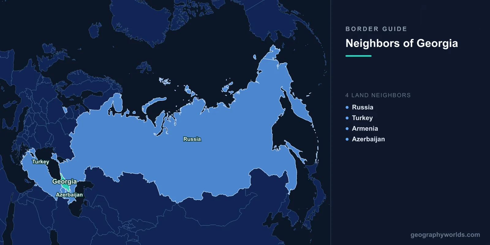
Four countries touch Georgia: Russia across the crest of the Greater Caucasus in the north, Turkey in the south-west where the mountains meet the Black Sea, Armenia in the south, and Azerbaijan in the south-east. The four lines total 1,814 km, which is a modest perimeter for a country that has spent three thousand years being fought over.
The list is easy. What the list conceals is that Georgia's borders come in at least three legal conditions at once. One is a normal, demarcated, treaty-backed boundary with an EU-candidate country on the far side. One is only two-thirds agreed after thirty years of talks. And a long stretch of the northern line does not function as a border under Tbilisi's control at all, because the territory on the Georgian side of it is administered by authorities Georgia does not recognise. Any honest answer to the question has to deal with all three.
The Northern Line, and the Two Regions Behind It
On paper Georgia and Russia share 894 km, the longest of the four, running along the watershed of the Greater Caucasus — a genuinely formidable wall, with Mount Kazbek at 5,033 m standing over the main pass. In practice, Georgia's central government administers only the middle section of it. The western end sits behind Abkhazia; the central-northern portion sits behind South Ossetia, which Tbilisi refers to as the Tskhinvali region. Both broke from Georgian control in the wars of the early 1990s, and after the five-day war of August 2008 Russia recognised each as an independent state, a position taken by only a handful of other governments. The United Nations and the great majority of member states continue to regard both as part of Georgia.
Georgian law and Georgian usage therefore avoid calling the inner lines borders. They are administrative boundary lines, or ABLs. That is not a euphemism so much as a legal position: calling them borders would concede the point being contested. The European Union Monitoring Mission, deployed since late 2008, patrols the Georgian-controlled side of both ABLs and is not permitted to cross to the other side.
The Roki Tunnel explains why the northern geography matters so much militarily. It is a 3.7 km bore driven under the main range and opened in 1984, and it is the only year-round road link between North Ossetia in Russia and South Ossetia. Before it existed, the southern side was reachable from Russia only over passes that closed with the first heavy snow. In August 2008 Russian armour came through it within hours of the fighting starting. A single tunnel changed the strategic value of an entire mountain range.
Fence Creep in the Farmland
Since 2009, Russian forces and the authorities in Tskhinvali have installed barbed wire, ditches and green signboards along stretches of the South Ossetian ABL. Georgian officials and the EU monitors call it borderisation. The line was never surveyed as an international boundary — it was an internal Soviet administrative division — so where exactly it falls is genuinely arguable, and the fencing has repeatedly appeared further south than villagers expected, cutting orchards, pastures and in some cases houses off from the rest of the village.
The best-documented episode came in July 2015 near the village of Tsitelubani, where new markers were placed several hundred metres inside previously Georgian-administered land and left a section of the BP-operated Baku–Supsa oil pipeline on the far side. Farmers have been detained for crossing lines they did not know had moved. It is a slow, low-intensity, entirely non-explosive form of territorial change, and it is the reason Georgians talk about the north in the present tense rather than as 2008 history. The broader pattern of contested lines along Russia's southern rim shows up again and again in the survey of every country that borders Russia.
One Road In, One Road Out
Because the two breakaway regions sit between them, Georgia and Russia have exactly one functioning legal land crossing: Kazbegi on the Georgian side, Verkhny Lars on the Russian, in the granite slot of the Dariali Gorge. Everything moving legally overland between the two countries — trucks, buses, Armenian transit freight, Russian tourists — funnels through that single point on the Georgian Military Highway.
It has not always been open. Russia shut it in 2006 during a diplomatic rupture and it stayed closed until 2010. Its fragility is structural too: the road runs under avalanche paths and gets closed by snow and rockfall for days at a time each winter. In September 2022, after Russia announced a military mobilisation, the queue of cars trying to leave stretched for many kilometres on the Russian approach, and people abandoned vehicles and walked the last stretch. A mountain gorge that a medieval caravan would have recognised became, briefly, the most photographed exit in Eurasia.
A Sixth-Century Monastery on a Ridge Both Sides Claim
The Azerbaijani border runs 428 km through the dry, sparsely settled hills of Kakheti and Kvemo Kartli. Most of it is uncontroversial. Roughly two-thirds has been formally delimited by the joint commission the two countries set up in the 1990s; the remaining third has been argued over for decades, and the sticking point is a monastery.
The Davit Gareja complex — Keshikchidagh in Azerbaijani — is a group of rock-cut monasteries founded in the sixth century, carved into a ridge that the Soviet-era administrative line happens to follow. The Lavra sits securely in Georgia. The Udabno cave church, with its frescoes, sits on top of and partly beyond the ridgeline. Georgia argues the site is an indivisible piece of its religious heritage; Azerbaijan argues the ridge is a natural watershed boundary and the high ground is strategically its own. Access has been suspended and restored more than once, and in 2019 the standoff sharpened when pilgrims and border guards confronted one another on the ridge. Both governments have been careful to keep it from spilling into the rest of the relationship, and with good reason.
That reason is infrastructure. The Baku–Tbilisi–Ceyhan oil pipeline, the South Caucasus gas pipeline, and the Baku–Tbilisi–Kars railway all cross this border. Georgia is Azerbaijan's route to the Black Sea and to Turkey; Azerbaijan is Georgia's principal gas supplier. Two economies are stitched together across a line that is only partly drawn.
The Southern Lifeline
At 219 km, Armenia is Georgia's shortest border and, for the country on the other side, the most important line in the region. Armenia's boundaries with Turkey and Azerbaijan have been closed since the early 1990s, and its border with Iran is a single mountain road. That leaves Georgia carrying the overwhelming majority of Armenian overland trade. Goods land at Poti or Batumi and go south through the crossing at Sadakhlo and Bagratashen on the Debed river; anything moving between Armenia and Russia goes north through Verkhny Lars. When snow shuts that pass, prices move in Yerevan.
The border zone is also the most ethnically layered part of Georgia. Samtskhe-Javakheti, the highland province west of the Armenian line around Akhalkalaki and Ninotsminda, has an Armenian-majority population; the Kvemo Kartli lowlands toward Azerbaijan have a large ethnic Azerbaijani population. Georgia's two southern borders are, in demographic terms, gradients rather than edges.
Sarpi, Where the Border Runs Into the Sea
The Turkish border is 273 km long and ends on a Black Sea beach at Sarpi, a few kilometres down the coast from Batumi. The crossing there is one of the most heavily used in the Caucasus, helped by an arrangement that lets Georgian and Turkish citizens cross with an identity card instead of a passport. Turkey has been Georgia's largest trading partner for years, and summer traffic on that road is largely holidaymakers heading for the Adjaran coast.
Inland the line climbs into the Lesser Caucasus, crossing at Vale near Akhaltsikhe and at Kartsakhi, where the Baku–Tbilisi–Kars railway passes through — a line that opened in 2017 and gave Azerbaijani and Central Asian freight a rail route to the Turkish network without touching Armenia or Russia. The Çoruh, which Georgians call the Chorokhi, runs the other way, rising in Turkey and reaching the sea just below Batumi, which is why Turkish dam-building upstream is a Georgian environmental issue. Turkey's other frontiers, several of them just as loaded, are laid out in the piece on the eight countries bordering Turkey.
Four Borders, Four Different Legal Realities
| Neighbour | Length | Main crossing | Condition of the line |
|---|---|---|---|
| Russia | 894 km | Kazbegi / Verkhny Lars | Only one legal road crossing; long sections sit behind Abkhazia and South Ossetia |
| Azerbaijan | 428 km | Red Bridge; Lagodekhi | Roughly two-thirds delimited; Davit Gareja ridge unresolved |
| Turkey | 273 km | Sarpi (coastal); Vale; Kartsakhi | Settled and busy; ID-card travel for citizens |
| Armenia | 219 km | Sadakhlo / Bagratashen | Settled; carries the bulk of Armenian overland trade |
Why the Count Is the Least Interesting Part
Georgia is roughly the size of Ireland and has four neighbours, which is unremarkable. What is remarkable is the spread: one border where citizens cross on an ID card and one where a fence appears in a farmer's field overnight; one that carries a pipeline and a railway across ground whose ownership is still being negotiated; one that keeps a landlocked neighbour supplied. The Caucasus packs more boundary complexity into 1,814 km than most continents manage in ten times that.
Georgia's outline — the long northern arc of the Caucasus, the Black Sea bite in the west, the hook of Kakheti pointing east — is one of the more recognisable in Eurasia once you have seen it a few times, and the country shapes game is a quick way to find out whether you actually could pick it out of a line-up.