
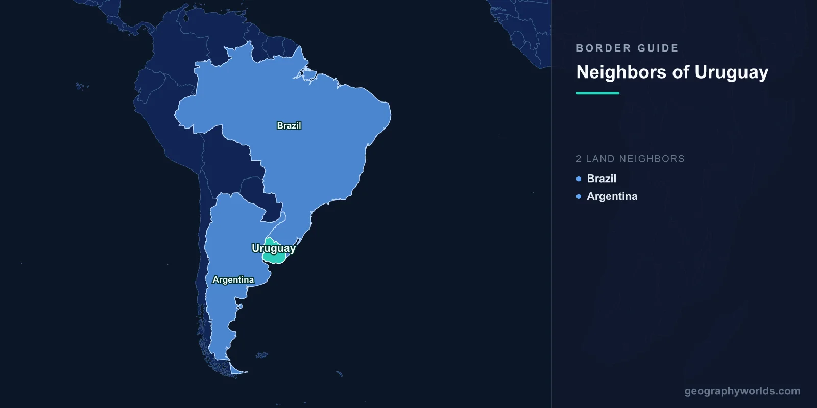
Only two countries share a land border with Uruguay: Brazil along the north and northeast, and Argentina along the west. The totals are lopsided. Brazil accounts for 1,050 km of the line and Argentina for 541 km, adding up to 1,591 km around a country of 176,215 sq km, which makes Uruguay the second-smallest sovereign state in South America after Suriname.
Having two neighbours is unremarkable. Having two neighbours built on completely different principles is not. One of Uruguay's borders is water from end to end, patrolled by a binational commission and litigated at The Hague. The other runs through open cattle country and, in one town, straight down the middle of a public street with nothing on it at all.
A Country Invented to Sit Between Them
It helps to know why the borders exist at all. Through the 1820s, Brazil and the United Provinces of the Rio de la Plata fought the Cisplatine War over the territory then called the Banda Oriental. Neither could hold it, and British diplomacy, which cared mainly about keeping the estuary open to shipping, pushed both sides towards the same solution. Under the Preliminary Peace Convention signed at Montevideo on 27 August 1828, Brazil and Buenos Aires each renounced their claim and agreed to the creation of an independent state between them.
Uruguay, in other words, was not a province that broke away. It was a buffer, deliberately placed in the gap so that two larger powers would stop sharing a frontier with each other. That origin explains a great deal about how the country has behaved since, including its long habit of hedging between Brasilia and Buenos Aires rather than choosing one.
Argentina: A Border With No Land In It
Not one metre of the Argentine boundary crosses dry ground. It begins where the Cuareim river empties into the Rio Uruguay at the northwestern tip of the country and follows that river south for its entire course to Punta Gorda, where the river opens into the Rio de la Plata. From there the limit becomes an estuarine and then a maritime line, which is why the land figure stops at 541 km.
The river was divided by the Treaty of Montevideo of 7 April 1961, which took the practical route of following the deepest navigable channel where one exists and the median line where it does not. That method scattered islands on both sides in a pattern no cartographer would have designed from scratch. It also produced one genuine oddity: Isla Martin Garcia, a rocky island near the mouth of the system, is Argentine sovereign territory but sits inside Uruguayan waters, a status confirmed by the 1973 treaty on the Rio de la Plata and its maritime front. Argentina agreed to keep it as a nature reserve and to build nothing military on it.
A second agreement, the 1975 Statute of the River Uruguay, created a joint body called CARU and gave it a deceptively simple job: any works that might affect the river have to be notified to the other country first. That clause sat quietly for thirty years and then triggered one of the most bad-tempered episodes in modern South American diplomacy.
The Bridge That Stayed Shut for Four Years
In 2005 Uruguay approved a large Finnish-owned pulp mill on the riverbank at Fray Bentos. Argentina objected that it had not been properly consulted through CARU and that the mill would foul a shared river. Residents of Gualeguaychu, the Argentine town facing the site, responded by occupying the approach to the Libertador General San Martin Bridge and refusing to let traffic through. The blockade held, on and off and then more or less permanently, from late 2006 until the middle of 2010.
Argentina took the case to the International Court of Justice on 4 May 2006. The judgment, delivered on 20 April 2010, split the difference in a way that let both governments claim something. Uruguay had breached its procedural duty to inform and consult through the commission. It had not, on the evidence, breached its substantive obligation to protect the river, and the court refused to order the mill dismantled. The blockade came down within weeks, replaced by a joint water-monitoring programme. The mill is still running.
Brazil: A Thousand Kilometres of Grass
The northern border could hardly be less like the western one. It starts on the Atlantic at the mouth of the Chuy stream, runs inland around the shore of Laguna Merin, picks up the Jaguarao river, then abandons water altogether and traces the low grassy ridges the Uruguayans call cuchillas across to the Cuareim river in the far northwest.
The legal history is a small lesson in how borders soften. The Treaty of Montevideo of 12 October 1851 handed Brazil exclusive rights over Laguna Merin and the Jaguarao, shutting Uruguay out of a lagoon on its own doorstep. Nearly sixty years later Brazil gave it back: the Treaty of Rio de Janeiro of 30 October 1909 divided the lagoon and the river between the two states. Voluntarily returning water rights to a much weaker neighbour was rare enough at the time to be remembered.
Rivera and Santana do Livramento, One Town With Two Governments
The stretch of dry border produced something unusual. Rivera in Uruguay and Santana do Livramento in Brazil are not two towns near each other; they are one continuous urban area with an international boundary running through it. There is no wall, no river, no fence and no checkpoint on the street. A shared plaza sits astride the line, an obelisk marks it, and people cross dozens of times a day without documents, because a border-resident agreement in force since the mid-2000s lets anyone living within about 20 km of the line work, study and use health services on either side.
The rule of thumb in Rivera is simple: whichever currency is weak that month decides which side of the street the queues form on.
The same pattern repeats at Chuy and Chui on the Atlantic, where the northern half of the main avenue is Brazilian and the southern half Uruguayan. Uruguay permits duty-free shops in its border towns, so Brazilians cross for imported electronics, perfume and whisky, while Uruguayans cross the other way for cheaper groceries and fuel when the exchange rate flips. Further east, the Barao de Maua bridge between Rio Branco and Jaguarao has carried traffic since 1930 and is now a protected heritage structure in both countries.
The Two Pieces Still Argued Over
For a border this relaxed, it is easy to miss that Uruguay has never fully accepted two sections of it. The larger is Rincon de Artigas, roughly 237 sq km of countryside near Masoller. The 1851 and 1909 texts describe the line as following the Arroyo de la Invernada, but the stream has more than one headwater, and the two countries picked different ones. The smaller is Isla Brasilera, a wooded island of about 2.5 sq km sitting at the junction of the Cuareim and Uruguay rivers.
Both are administered by Brazil. Uruguay maintains its claim on paper, marks the areas on some official maps as in dispute, and does nothing else about it. Isla Brasilera matters more than its size suggests, because it sits at the point where Uruguay, Brazil and Argentina would otherwise meet, so its ownership quietly determines where the tripoint lies.
| Neighbour | Land border | Made of | Main crossings | Outstanding claims |
|---|---|---|---|---|
| Brazil | 1,050 km | Laguna Merin, Jaguarao river, then dry ridge line | Chuy-Chui, Rio Branco-Jaguarao, Rivera-Santana do Livramento, Artigas-Quarai | Rincon de Artigas, Isla Brasilera |
| Argentina | 541 km | Rio Uruguay only, no dry section | Salto-Concordia, Paysandu-Colon, Fray Bentos-Gualeguaychu | None |
Why the Line Is Where the Money Is
Three bridges carry road traffic to Argentina, and each one sits on top of something else. The northernmost runs across the crest of the Salto Grande dam, a binational hydroelectric project that both countries own outright and split down the middle. The Artigas bridge links Paysandu to Colon. The San Martin bridge, the one that was blockaded, connects Fray Bentos to Gualeguaychu. Between them they handle most of the overland movement between Montevideo and Buenos Aires, two capitals that face each other across an estuary but are 500 km apart by road.
One consequence of the dam is rarely mentioned: Salto Grande was built without a navigation lock, so the Uruguay river is effectively closed to through shipping above it. The border is a working river for 300-odd kilometres and a wall after that.
South of Punta Gorda the arrangement changes character again. The Rio de la Plata is not divided by a simple line; under the 1973 treaty each country holds an exclusive coastal strip, seven nautical miles wide off Uruguay's shore in the outer estuary and two nautical miles in the inner, with the rest managed jointly. The outer limit of the whole system is a line drawn between Punta del Este in Uruguay and Punta Rasa in Argentina, one of the few places where two states have formally agreed where a river stops and the sea begins.
The northern frontier works differently. It has no single dominant crossing and no toll bridges of consequence; instead it has a string of paired towns whose economies are wired directly into the exchange rate. That is one reason Uruguay treats border policy as trade policy. When you look at how many countries crowd against Brazil or how far the line runs around Argentina, Uruguay's two-neighbour arrangement starts to look less like a limitation and more like a position.
Small countries with few neighbours are usually the hardest ones to place on a blank map, and Uruguay is a classic case: everyone knows roughly where it is, and almost nobody can draw it. If you want to find out how good your sense of the southern cone really is, guessing which country lies nearest to a given point will tell you quickly.