
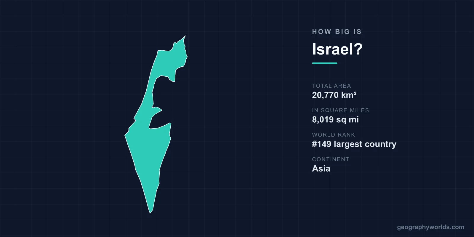
Israel covers a total area of about 20,770 km² (8,019 sq mi), making it roughly the 149th largest country in the world — smaller than New Jersey and only a little over two-thirds the size of Belgium. Despite this modest footprint, Israel packs an extraordinary range of landscapes into its borders, from Mediterranean beaches to snow-dusted northern peaks and the searing Negev Desert.
Israel's Area in Numbers
At 20,770 km², Israel accounts for only about 0.01% of the Earth's total land surface of roughly 149 million km². That places it among the smaller sovereign states, ranking near 149th globally by area. To make the figure tangible, consider these comparisons:
- United States: Israel is almost exactly the size of New Jersey, the fourth-smallest U.S. state.
- Europe: Belgium (30,528 km²) is about 47% larger, so Israel is roughly 68% of Belgium's size.
- Compared to a neighbour: Israel is far smaller than Egypt or Saudi Arabia, but larger than tiny coastal Lebanon to its north.
The 20,770 km² figure represents Israel's internationally recognised territory within the 1949 armistice lines, including East Jerusalem and the Golan Heights areas it administers. Different sources occasionally cite slightly different totals depending on how disputed territories are counted, but the commonly used reference area is just under 21,000 km².
How Far Across Is Israel?
Israel's shape is long and narrow, which exaggerates how compact it really is. The country stretches roughly 470 km (290 mi) from north to south, from the Lebanese border down to the Red Sea port of Eilat. Yet at its widest it measures only about 135 km (84 mi) east to west, and at its narrowest waist near the coastal plain it pinches to just around 15 km.
This geography has a striking practical consequence: you can drive the full length of the country in well under six hours, and cross it from the Mediterranean to the Jordan River in little more than an hour. Israel also has a Mediterranean coastline of about 273 km, lined with beaches and the major cities of Tel Aviv, Haifa, and Netanya.
A Surprising Diversity of Terrain
What Israel lacks in size it makes up for in variety. Four broad geographic regions are squeezed into the country:
- The coastal plain — a fertile, densely populated strip along the Mediterranean where most Israelis live.
- The central highlands — rolling hills including the Judean and Samarian ridges and the Galilee in the north.
- The Jordan Rift Valley — part of the Great Rift system, containing the Sea of Galilee and the Dead Sea.
- The Negev Desert — an arid wedge that fills the entire southern half of the country.
The highest point is Mount Meron in the Upper Galilee at 1,208 m (3,963 ft), which can see winter snow. The lowest point is the shore of the Dead Sea at about 430 m below sea level — the lowest dry land on the surface of any continent. That means Israel's elevation range spans more than 1,600 vertical metres within a country you could fit into many single U.S. counties.
Climate and Landscape Extremes
Israel's small size belies sharp climatic contrasts. The north and centre enjoy a Mediterranean climate with mild, wet winters and hot, dry summers, while the Negev and the Arava valley are genuinely arid desert. On a single winter day it is possible for snow to fall on Mount Hermon in the far north while temperatures climb comfortably above 20°C on the Red Sea coast at Eilat.
This range supports remarkable landscape diversity for the area: coral reefs in the Gulf of Aqaba at Eilat, the vast Makhtesh Ramon erosion crater (about 40 km long) in the Negev, fertile farmland in the coastal plain, and the mineral-rich, hypersaline waters of the Dead Sea. Israel is also one of very few countries that ended the 20th century with more forest cover than it began with, thanks to large-scale afforestation programmes.
Frequently Asked Questions
Is Israel smaller than a U.S. state?
Yes. At roughly 20,770 km², Israel is about the same size as New Jersey and smaller than most U.S. states. It is comparable in area to a single large metropolitan region in some larger countries.
How long does it take to drive across Israel?
Driving the length of the country, from the northern border to Eilat in the south, takes around five to six hours. Crossing the narrow width near the coast can take as little as an hour, since the country is only about 135 km at its widest.
What is the lowest point in Israel?
The shore of the Dead Sea, at roughly 430 metres below sea level, is the lowest point in Israel and the lowest exposed land surface on Earth.
Where can I learn more about Israel?
For history, culture, regions, and travel details, see our full israel country guide, which covers the country beyond its geography and size.