
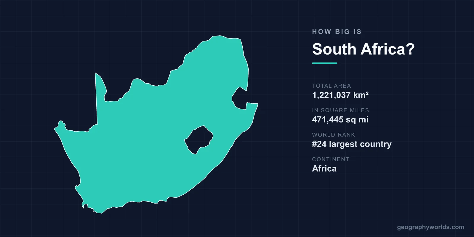
South Africa covers a total area of 1,221,037 km² (471,445 sq mi), making it the 24th largest country in the world — roughly twice the size of France and large enough to swallow the United Kingdom about five times over. Occupying the southern tip of the African continent, it accounts for around 0.82% of the planet's total land surface.
Just How Big Is South Africa?
At more than 1.2 million square kilometres, South Africa is one of the larger nations on Earth, ranking 24th by total area out of roughly 195 countries. Stretching about 1,600 km from north to south and 1,500 km from east to west, it dominates the southern third of Africa and shares borders with Namibia, Botswana, Zimbabwe, Mozambique, and Eswatini. It also completely surrounds the small mountain kingdom of Lesotho, making Lesotho one of only three countries in the world entirely enclosed by another.
To picture that scale, consider that South Africa's land area is comparable to the combined size of Germany, France, and the Netherlands. It is bigger than the US states of Texas and California put together, and represents about a third of the contiguous size of Australia.
How South Africa Compares to Other Countries
Size comparisons make the figure far easier to grasp. Here is how South Africa stacks up against some familiar countries:
- France (640,679 km²): South Africa is roughly 1.9 times larger.
- United Kingdom (~243,000 km²): South Africa is about 5 times bigger.
- Germany (~357,000 km²): South Africa is around 3.4 times larger.
- Spain (~506,000 km²): South Africa is roughly 2.4 times the size.
- Texas, USA (~696,000 km²): South Africa is about 1.75 times larger.
Within Africa, South Africa is not among the giants — countries like Algeria, the Democratic Republic of the Congo, and Sudan are considerably larger — but it remains one of the continent's more substantial nations and by far the most economically developed in the southern region.
Coastline, Plateau and Physical Dimensions
South Africa boasts a coastline of approximately 2,798 km, an unusual feature because it touches two oceans: the Atlantic to the west and the Indian Ocean to the east. These two seas meet near the southern tip, where the cold Benguela current and the warm Agulhas current create dramatically different conditions along either coast.
Much of the country's interior is taken up by a vast elevated plateau known as the Highveld, sitting between 1,200 and 1,800 m above sea level. This plateau is rimmed by the Great Escarpment, whose most spectacular stretch is the Drakensberg range running for around 1,000 km along the eastern edge. The highest point in the country, Mafadi, rises to 3,450 m (11,319 ft) on the border with Lesotho.
Landscapes Across a Large Country
A country this size naturally contains enormous geographic variety. The terrain ranges from the arid Karoo and the Kalahari sands in the interior to subtropical coastline in KwaZulu-Natal and a Mediterranean climate around Cape Town. Notable features that highlight the scale and diversity of the land include:
- Kruger National Park — one of Africa's largest game reserves at nearly 20,000 km², bigger than several small countries.
- Table Mountain — the flat-topped landmark overlooking Cape Town and one of the New7Wonders of Nature.
- The Blyde River Canyon — among the largest canyons on Earth and the world's largest "green" canyon.
- The Cape Floral Region — one of only six floral kingdoms on the planet, packing more plant species per area than the Amazon.
The country is also famously the only one in the world with three capital cities, each housing a different branch of government: Pretoria (executive), Cape Town (legislative), and Bloemfontein (judicial). For more on the nation's geography, history and culture, see our south africa country guide.
Population and Density
Spread across this large territory are roughly 60 million people, giving South Africa a moderate population density of about 49 people per km². That figure conceals huge variation: dense urban concentrations around Johannesburg, Cape Town, and Durban contrast with vast, sparsely populated stretches of the Karoo and Northern Cape, the largest and emptiest of the country's nine provinces.
Frequently Asked Questions
Is South Africa bigger than France?
Yes. At 1,221,037 km², South Africa is about 1.9 times larger than France, which covers 640,679 km². You could fit France inside South Africa almost twice with room to spare.
What rank is South Africa by area?
South Africa is the 24th largest country in the world by total area, and one of the larger nations on the African continent.
How does South Africa compare to the United States?
South Africa is far smaller than the United States, which spans about 9.8 million km². At 1.22 million km², South Africa is roughly one-eighth the size of the US, though larger than any single US state including Alaska.
How long is South Africa's coastline?
South Africa has a coastline of approximately 2,798 km, touching both the Atlantic Ocean in the west and the Indian Ocean in the east.