
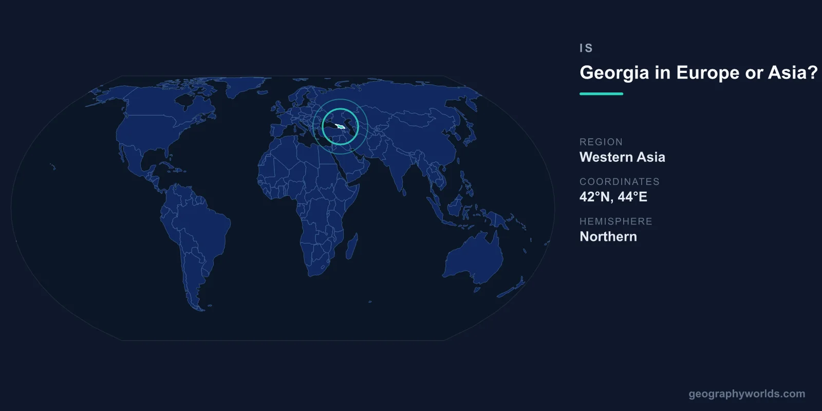
Georgia is a transcontinental country that straddles the dividing line between Europe and Asia, sitting in the South Caucasus where the two continents meet. Depending on which boundary convention you use, Georgia can be classed as European, Asian, or both at once. In practice, most modern definitions treat it as part of Europe because of its political and cultural orientation, even though physical geography places much of it on the Asian side of the Caucasus crest. The short answer is that Georgia is European by affiliation and ambiguous by geography, which is precisely why the question keeps getting asked.
Why Georgia Sits on the Continental Boundary
The traditional border between Europe and Asia runs through the Caucasus region, but geographers have never fully agreed on exactly where. Two main conventions compete. One draws the line along the watershed of the Greater Caucasus mountains, the high range that forms Georgia's northern frontier with Russia. Under that rule, almost all of Georgia lies south of the crest and therefore falls in Asia. The other convention runs the line further south, along the Aras River or the political borders of the Caucasus states, which places Georgia firmly in Europe.
Because Georgia's territory of roughly 69,700 km² sits squarely between these two lines, it has no single, universally agreed continental home. This is exactly why the question is asked so often: there is no clean answer, only competing definitions that are each defensible.
It helps to remember that the Europe–Asia boundary is not a natural fact like a coastline or a mountain summit. It is a human convention, inherited from ancient Greek geographers who used the Black Sea and the rivers feeding it as a rough divide. Because the two continents are actually one continuous landmass, Eurasia, any line drawn across the Caucasus is ultimately a matter of agreement rather than physical necessity. Georgia simply happens to fall on the seam where that agreement breaks down.
Where Exactly the Boundary Runs
To understand why Georgia is contested, it helps to trace the most common boundary lines geographers actually use:
- The Greater Caucasus watershed line: Follows the highest ridge of the northern mountains. This is the most restrictive line for Georgia, leaving nearly the entire country on the Asian side.
- The Kuma–Manych Depression line: Runs north of the Caucasus across southern Russia. Under this older Soviet convention, the whole Caucasus, including Georgia, is counted as part of Europe.
- The political-border line: Treats the modern frontiers of Georgia, Armenia, and Azerbaijan as the divide. Organisations that classify Georgia as European generally rely on this approach.
No global authority enforces one of these over the others, so atlases, encyclopedias, and statistical agencies each pick the convention that suits their purpose. The result is that the same country can appear in a "Europe" chapter in one reference book and a "Western Asia" table in another.
The Case for Europe
Although physical geography is ambiguous, Georgia's institutional and cultural ties point strongly toward Europe. Georgia is a full member of the Council of Europe, having joined in 1999, and it actively pursues membership of both the European Union and NATO. In 2023 it was granted EU candidate status, formally anchoring its European trajectory. Georgian sports teams compete in European competitions, including UEFA football tournaments, rather than Asian ones.
Culturally, Georgia has long looked west. It is one of the world's oldest Christian nations, having adopted Christianity as a state religion in the early 4th century, and the Georgian Orthodox Church remains central to national identity. These deep European-facing ties are why atlases, international organisations, and Georgians themselves most often describe the country as European. For many Georgians, the European label is not just a technicality but an expression of national identity and political aspiration.
The Case for Asia
The argument for placing Georgia in Asia rests almost entirely on physical geography. If the Europe–Asia boundary follows the main ridge of the Greater Caucasus, then Georgia's land lies on the southern, Asian flank. The South Caucasus, also called Transcaucasia, has historically been grouped with West Asia in many geographic and statistical systems. Georgia's neighbours reinforce this: it borders Turkey and Armenia to the south and Azerbaijan to the east, all countries that are themselves frequently described as transcontinental or Asian.
Some encyclopedias and UN regional schemes still list Georgia under Western Asia for statistical convenience. So the Asian classification is not wrong, it simply reflects a different, more strictly geographic line. The United Nations geoscheme, for instance, places Georgia in Western Asia, the same subregion as Turkey, Syria, and the Arabian Peninsula states, even while acknowledging the country's strong European connections.
Why the Answer Depends on Who Is Asking
Whether Georgia is "in Europe" or "in Asia" usually depends less on geology than on the purpose of the question. A football administrator, a diplomat, a statistician, and a physical geographer will each give a different but internally consistent answer:
- Politically and culturally: Europe, because of Georgia's institutions, faith, alliances, and self-identification.
- Physically and geologically: mostly Asia, because the bulk of the country lies south of the Greater Caucasus crest.
- Statistically (UN scheme): Western Asia, for the sake of regional data consistency.
- Historically: a crossroads, long described as the meeting point of Europe, Asia, and the Middle East along the ancient Silk Road.
This is the same kind of debate that surrounds neighbours like Turkey, Azerbaijan, and even Russia, all of which sprawl across the conventional divide. Georgia is simply one of the clearest examples of a country whose continental label is a choice rather than a measurement.
Georgia's Geography at a Glance
Georgia occupies a dramatic and varied landscape compressed into a relatively small area. This combination of seacoast, high mountains, and fertile valleys helped make Georgia one of the cradles of viticulture, with archaeological evidence of winemaking stretching back some 8,000 years. The country also preserves its own distinctive alphabet, one of only a handful of writing systems still in everyday use anywhere in the world. For a fuller overview of the country, see our georgia country guide.
Key Facts
- Area: approximately 69,700 km², a little smaller than the Republic of Ireland.
- Capital: Tbilisi, whose name derives from the Georgian word for "warm," a nod to its natural sulfur hot springs.
- Population: around 3.7 million people.
- Coastline: the Black Sea forms the western border, giving the lowlands a humid subtropical climate.
- Mountains: the Greater Caucasus rise in the north, the Lesser Caucasus in the south, with peaks exceeding 5,000 metres.
- Continent: transcontinental, most commonly classed as Europe but sometimes as Asia.
- Borders: Russia to the north, Turkey and Armenia to the south, Azerbaijan to the east, Black Sea to the west.
Frequently Asked Questions
Is Georgia officially part of Europe?
There is no single official ruling, but Georgia is most often treated as European. Its membership of the Council of Europe, its EU candidate status, and its participation in European cultural and sporting bodies all support the European classification, even though its physical geography is transcontinental.
Is the country Georgia the same as the US state of Georgia?
No. The country of Georgia in the South Caucasus is an independent nation with its capital at Tbilisi. The US state of Georgia is one of the fifty states of the United States, with its capital at Atlanta. They share only a name.
What continent is Tbilisi in?
Tbilisi, Georgia's capital, sits in the same transcontinental zone as the rest of the country. It is usually described as a European city given Georgia's political orientation, though it lies on the geographic frontier with Asia in the South Caucasus.
Which countries border Georgia?
Georgia shares land borders with Russia to the north, Turkey and Armenia to the south, and Azerbaijan to the east. The Black Sea lies along its entire western edge, linking it to the wider European and Mediterranean trade world.