
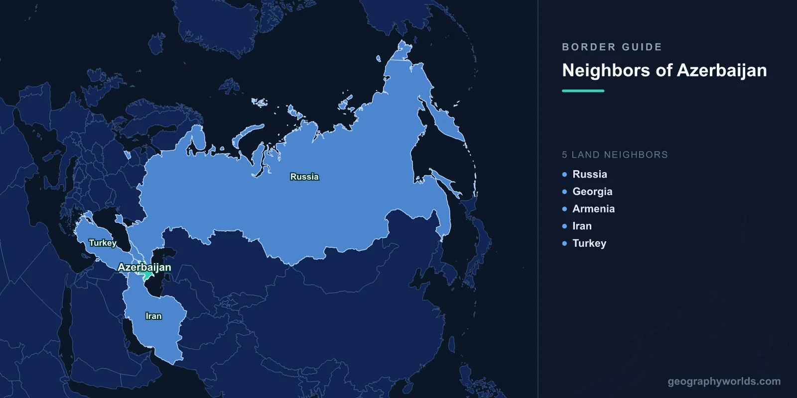
Azerbaijan borders five countries. Going clockwise from the north: Russia (338 km), Georgia (428 km), Armenia (996 km), Turkey (17 km) and Iran (689 km), for a total land boundary of 2,468 km. The Caspian Sea takes up the eastern side, and because the Caspian is legally a sea-sized lake rather than an ocean, none of that shoreline counts as a border with anyone.
Two things about the list look wrong at first glance and are not. The Turkish figure really is 17 km, one of the shortest international boundaries anywhere. And Azerbaijan manages to touch both Armenia and Turkey without a continuous stretch of territory reaching either, because part of the country is not physically attached to the rest of it. Sorting that out is the fastest way into everything else.
The Piece of Azerbaijan That Is Not Attached to Azerbaijan
Nakhchivan is an autonomous republic of roughly 5,500 square kilometres, wedged between Armenia and Iran, with a corner touching Turkey. To reach it overland from Baku you must cross Armenian territory — Armenia's Syunik province sits directly in the way, a band of mountains perhaps 40 km wide at its narrowest. Since the Armenian and Azerbaijani frontier has been closed since the early 1990s, that is not an option, and Nakhchivan has been supplied for three decades by air from Baku and by road through Iran.
The arrangement dates to the settlement of 1921. The Treaty of Moscow in March of that year, between Soviet Russia and the new Turkish government, and the Treaty of Kars in October, signed by Turkey with the Soviet republics of the South Caucasus, placed Nakhchivan under Azerbaijani protection as an autonomous territory. Turkey remains a named party to Kars, which is why Ankara treats Nakhchivan's status as a matter of direct treaty interest rather than distant sympathy. The Soviet internal boundaries that followed hardened into international borders in 1991, and a piece of administrative engineering from the era of Lenin and Atatürk became a permanent fact of Caucasus geography.
Seventeen Kilometres of Turkey
The whole of Azerbaijan's border with Turkey lies at Nakhchivan's western tip, where the Aras river separates the Sadarak district from the Turkish province of Iğdır. Sources give the length variously between 9 and 17 km — the CIA World Factbook uses 17 — because a short river boundary measured with different degrees of meander-following produces different answers.
Short as it is, it is not symbolic. The Umut Bridge, whose name means hope, opened at Sadarak in 1992 and connects to the Turkish crossing at Dilucu. When Nakhchivan was cut off during the first Karabakh war, that bridge and the road behind it were how food and fuel arrived. Turkey has since built a gas pipeline into Nakhchivan and the two governments have worked on a rail link. For a country hemmed in on three sides, 17 km of open border is worth more than a thousand kilometres of closed one. Turkey's other seven land neighbours, and the very different politics attached to each, are covered in the piece on the countries that border Turkey.
| Neighbour | Length | Which part of Azerbaijan it touches | Status |
|---|---|---|---|
| Armenia | 996 km | Both the mainland and Nakhchivan | Closed since the early 1990s; delimitation only just begun |
| Iran | 689 km | Both the mainland and Nakhchivan | Open; follows the Aras river for most of its length |
| Georgia | 428 km | Mainland only | Open; roughly two-thirds formally delimited |
| Russia | 338 km | Mainland only | Open; Dagestan on the far side, Samur river in part |
| Turkey | 17 km | Nakhchivan only | Open; a single bridge crossing at Sadarak |
Where the Aras Does the Talking
The Iranian border is 689 km and for most of that distance it is a single river. The Aras — Araz to Azerbaijanis, Araks to Armenians — rises in eastern Turkey and runs east, forming boundary after boundary before turning toward the Caspian. Its role as a dividing line goes back to the Russo-Persian wars: the Treaty of Gulistan in 1813 and the Treaty of Turkmenchay in 1828 transferred the khanates north of the river from Persian to Russian control, and the line those treaties drew is essentially the line on the map today.
The consequence is demographic. Azerbaijani speakers were left on both banks, and the population of Iranian Azerbaijan — the provinces of East Azerbaijan, West Azerbaijan and Ardabil, with Tabriz as the main city — is by most estimates considerably larger than the population of the Republic of Azerbaijan itself. That single fact colours the whole relationship: warm at the level of trade and family visits, prickly at the level of state politics, with each capital periodically accusing the other of meddling.
Traffic crosses at Astara on the Caspian shore, at Bilasuvar in the lowlands, and at Julfa in Nakhchivan. Downstream sit the Khudafarin bridges, one of them a stone arch structure of medieval origin, and the modern Khudafarin dam that the two countries built jointly. Iran's own frontier arithmetic, including this one, is set out in the guide to Iran's neighbours, and the sheer scale of the country on the southern bank is easier to grasp from how big Iran really is.
The Longest Border and the Least Settled
At 996 km, Armenia is Azerbaijan's longest neighbour by a wide margin, and the least resolved. The line has been closed since the conflict that began as the Soviet Union collapsed, and it comes in two separate segments — one along the mainland, one wrapping around Nakhchivan.
It is also littered with leftovers of Soviet administrative practice. Karki, which Armenians call Tigranashen, is an exclave of Nakhchivan that sits inside Armenia and has been under Armenian control since the early 1990s. Artsvashen is an Armenian exclave inside Azerbaijan, under Azerbaijani control. Barkhudarli and Yukhari Askipara are Azerbaijani exclaves in Armenia's Tavush province. None of these were meant to matter; they were village-level land allocations inside one country.
Following the war of autumn 2020 and the operation of September 2023 that returned the Karabakh region to Azerbaijani administration — after which most of its Armenian population left for Armenia — the two governments began, for the first time, actually surveying a boundary. In April 2024 a joint delimitation commission agreed the first section: roughly 12.7 km in the Gazakh and Tavush districts, with four villages passing to Azerbaijani control, worked out from Soviet General Staff maps of 1976. Markers were physically placed on the ground. It was a small stretch of a very long line, but it was the first metre of agreed Armenia–Azerbaijan boundary ever demarcated.
The larger question is transit. Azerbaijan has pressed for a road and rail route across Armenia's Syunik province linking the mainland to Nakhchivan, which Baku calls the Zangezur corridor. Armenia has resisted the corridor framing and put forward its own Crossroads of Peace proposal, insisting that any route stay under Armenian sovereignty, jurisdiction and customs control. A declaration signed in Washington in August 2025 set out a framework for such a route under Armenian sovereignty with external commercial involvement. Whether it becomes tarmac is a separate matter from whether it exists on paper.
North to Dagestan
The Russian border is the shortest of the mainland four at 338 km, running from the Caspian shore up into the eastern Greater Caucasus, with the Russian republic of Dagestan on the other side. The lower stretch follows the Samur river, and water from it is shared under an agreement the two countries reached in 2010, dividing the flow between Azerbaijani irrigation — including the canal that supplies the Absheron peninsula and Baku — and Dagestani use.
The Lezgin people live on both banks, which makes this a border that cuts through a community rather than between two of them, a recurring theme along the whole southern edge of Russia. The main crossing is at Samur, opposite Yarag-Kazmalyar. It was shut for most of the pandemic years and its reopening was a significant event for the traders on both sides.
The Quiet Border, and the Sea That Is Not a Border
Georgia, at 428 km, is the neighbour Azerbaijan argues with least and depends on most. Baku's oil and gas reach world markets through Georgian territory: the Baku–Tbilisi–Ceyhan crude pipeline, the South Caucasus gas pipeline, and the Baku–Tbilisi–Kars railway that opened in 2017 all run west across it. About two-thirds of the line is formally delimited; the remainder includes the ridge holding the Davit Gareja monastery complex, known in Azerbaijani as Keshikchidagh, which Georgia treats as inseparable religious heritage and Azerbaijan treats as high ground on a natural watershed. Both sides have kept the dispute quarantined from the pipeline relationship.
Finally, the Caspian. It is the largest enclosed body of water on Earth, and for decades the five littoral states could not agree whether it was a sea, which would trigger the law of the sea and territorial waters, or a lake, which would imply equal division. The Aktau Convention of August 2018 split the difference: a bespoke legal regime, with the surface largely shared and the seabed divided bilaterally. Azerbaijan had already settled its seabed lines with Kazakhstan and, in 2021, agreed joint development with Turkmenistan of a field the two had contested for decades. That is why the Caspian appears in no border count, and yet is the most valuable frontier Azerbaijan has.
Five neighbours, one exclave, one river doing the work of a treaty, and a border that has only recently begun to be surveyed after a century on the map. If you want to see how quickly you can place Baku, Tbilisi, Yerevan and Tehran against each other on a blank map, the closest country game makes the Caucasus feel a lot smaller than it looks.