
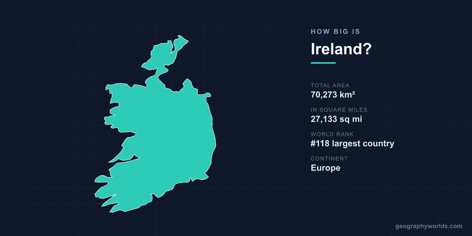
Ireland has a total area of 70,273 km² (27,133 sq mi), making it the 118th largest country in the world — roughly the size of the U.S. state of West Virginia or about 70% the area of South Korea. That figure refers to the Republic of Ireland, which occupies the larger southern portion of the island of Ireland. The remainder of the landmass is Northern Ireland, part of the United Kingdom. Despite its modest footprint, Ireland packs an astonishing variety of landscapes into a compact space, from Atlantic sea cliffs and limestone karst to peat bogs and a low, green agricultural heartland.
Ireland's Area in Numbers
At 70,273 km², Ireland accounts for only about 0.05% of the Earth's roughly 149 million km² of land area. That places it firmly among Europe's smaller nations, yet it is far from the smallest — it comfortably outsizes countries like the Czech Republic, Austria, and Portugal in landmass terms when measured against many European states. The 70,273 km² figure refers to the Republic of Ireland alone. The whole island of Ireland, including Northern Ireland's 14,130 km², measures around 84,400 km², making it the third-largest island in Europe after Great Britain and Iceland.
Of that total, roughly 1,390 km² is water — lakes and rivers — with the rest being land. To picture the scale, imagine a country you could drive across the long way in well under a day, and you would still rarely be far from the sea.
Key Facts
- Total area: 70,273 km² (27,133 sq mi)
- World rank: 118th largest country
- Continent: Europe
- Capital: Dublin
- Coastline: approximately 1,448 km
- Highest point: Carrauntoohil, 1,039 m (3,409 ft)
- Share of world land area: about 0.05%
How Far Does Ireland Stretch?
Ireland measures roughly 486 km from north to south and about 275 km from east to west, giving it a broadly diamond-shaped outline. What truly defines the country, though, is its relationship with the ocean. The coastline runs for approximately 1,448 km, and remarkably, no point in Ireland lies more than about 113 km from the sea. This intimate connection to the Atlantic shapes everything from the climate to the culture.
The terrain is mostly low-lying, built around a broad central limestone plain ringed by coastal hills and mountains. Most of the country sits below 150 m in elevation. The highest point, Carrauntoohil in the MacGillycuddy's Reeks of County Kerry, reaches just 1,039 m (3,409 ft) — modest by global standards, but it crowns some of the most dramatic scenery in the British Isles. Because the land is so flat overall, the average elevation across Ireland is well under 100 m, which is part of why journeys feel so close to the coast and the sky feels so wide.
Ireland Compared to Other Places
Size comparisons make Ireland's scale easier to grasp. The country is almost exactly the size of West Virginia and a little larger than the U.S. state of South Carolina. Set against its closest neighbour, the United Kingdom at 243,610 km², Ireland is only about 29% as large. It is roughly 70% the area of South Korea (100,210 km²) and comparable in size to nations such as Sri Lanka or Georgia.
- vs. United Kingdom: about 29% the size
- vs. England alone (~130,000 km²): about 54% the size
- vs. South Korea: about 70% the size
- vs. West Virginia (~62,755 km²): nearly identical
- vs. Texas (695,662 km²): about one-tenth the size
For broader context on the country's borders, regions, and people, see our full ireland country guide.
A Lot of Landscape in a Small Space
Ireland's compact size belies its geographic diversity. The west coast is rugged and wild, fringed by features like the 214 m Cliffs of Moher, the scenic Ring of Kerry, the wind-scoured Aran Islands, and the rocky expanse of Connemara. Inland, the country is dotted with peat bogs — covering roughly 15% of the surface — along with lakes and gently rolling farmland that earned Ireland its "Emerald Isle" nickname.
One of the most unusual landscapes is the Burren in County Clare, a vast karst plateau of fissured limestone where Arctic, Mediterranean, and alpine plants grow side by side. The country's longest river, the Shannon, winds 360 km through the midlands, making it the longest river in all of the British Isles. Lough Neagh, just across the border in Northern Ireland, is the largest lake in the British Isles by surface area. The Gulf Stream keeps the climate mild and wet, with January temperatures averaging around 5°C and the rainy western hills receiving up to 2,500 mm of rain a year.
How Ireland's Land Is Used
For such a green island, surprisingly little of Ireland is forest. Centuries of clearance left the country with one of the lowest forest-cover rates in Europe, though replanting has pushed it back above 11% in recent decades. The dominant land use is agriculture: roughly two-thirds of the country is given over to farmland, overwhelmingly pasture for cattle and sheep rather than tilled crops. This is why the landscape reads as an endless quilt of small, hedge-bound green fields.
The population is also concentrated rather than spread evenly. The Greater Dublin area on the east coast holds well over a third of the Republic's people, while the rugged western counties remain sparsely settled. The result is that vast stretches of Ireland's modest 70,273 km² feel genuinely rural and open, despite the country's small overall size.
Why Ireland Feels Bigger Than It Is
Travellers often remark that Ireland seems larger than the map suggests. Part of this is the winding road network that threads through hills, hedgerows, and small villages, slowing journeys and revealing constant changes in scenery. The variety also helps: within an hour you can move from a sandy beach to a mountain pass to a peat bog. Layered on top is a deep sense of history — the Newgrange passage tomb in County Meath predates both the Egyptian pyramids and Stonehenge, anchoring this small island with an outsized cultural footprint.
Frequently Asked Questions
Is Ireland bigger than England?
No. England alone covers about 130,000 km², nearly twice the area of the Republic of Ireland's 70,273 km². The entire United Kingdom, at 243,610 km², is more than three times Ireland's size.
How big is the whole island of Ireland?
The full island, combining the Republic of Ireland and Northern Ireland's 14,130 km², spans roughly 84,400 km². This makes it the third-largest island in Europe, behind Great Britain and Iceland.
What U.S. state is Ireland most similar to in size?
Ireland is closest in area to West Virginia, which covers about 62,755 km². It is also comparable to South Carolina and only a little larger than several other mid-sized states.
How long would it take to drive across Ireland?
Because Ireland stretches only about 486 km north to south and 275 km east to west, you can cross it in roughly four to five hours by motorway, though scenic rural routes take considerably longer.