
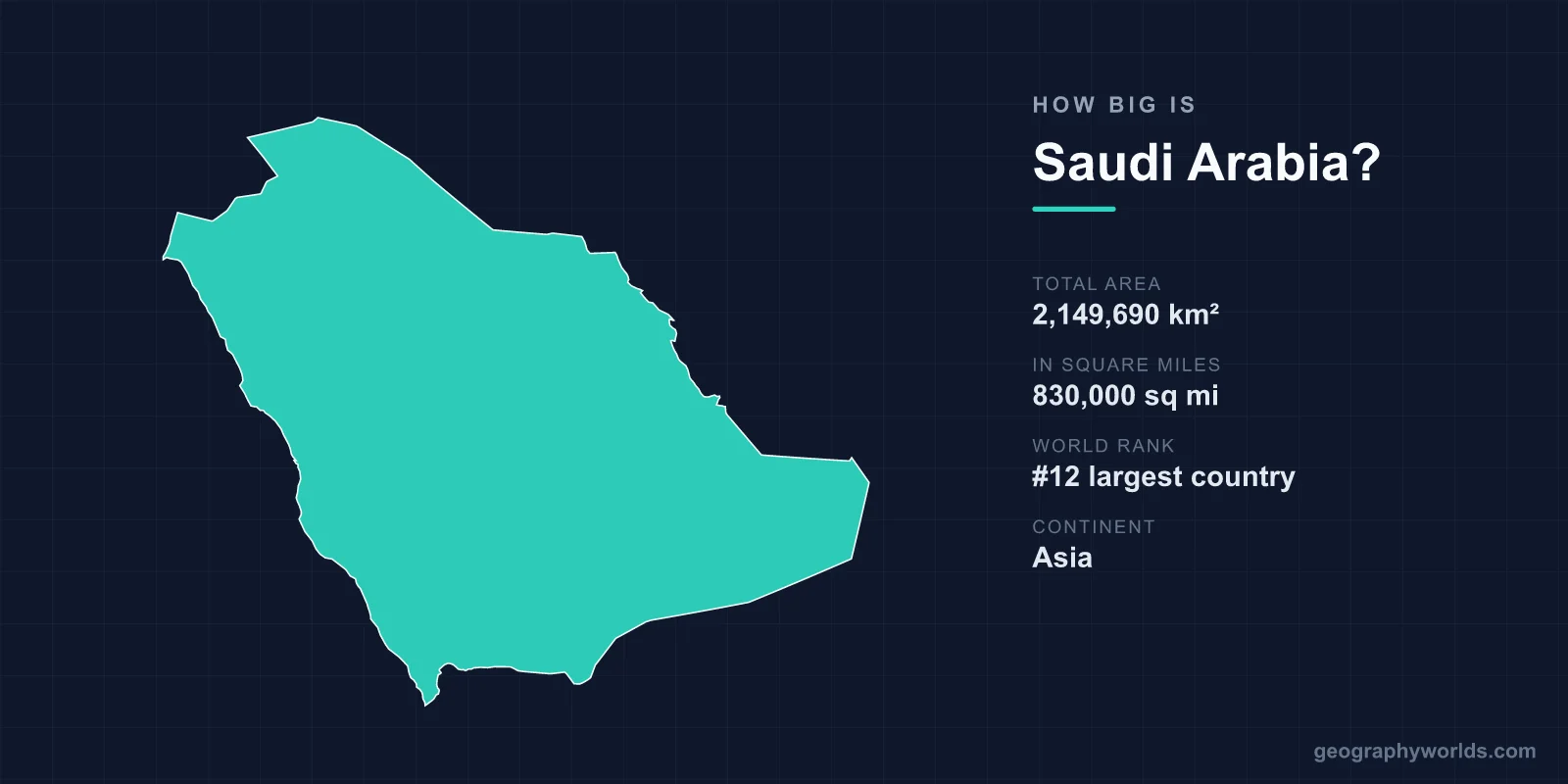
Saudi Arabia covers a total area of 2,149,690 km² (830,000 sq mi), making it the 12th largest country in the world and the largest in the Middle East. That vast expanse fills roughly 80% of the Arabian Peninsula and accounts for about 1.44% of the planet's total land surface, yet much of it is sparsely populated desert.
Just How Large Is 2.15 Million km²?
At 2,149,690 square kilometres, Saudi Arabia is bigger than the vast majority of the world's nearly 200 countries. Only eleven nations — including Russia, Canada, China, the United States, Brazil and Australia — exceed it in land area. The kingdom is by far the dominant landmass of the Arabian Peninsula, dwarfing its neighbours such as the United Arab Emirates, Oman, Kuwait and Qatar combined.
Despite that enormous footprint, Saudi Arabia is thinly settled. Most of its roughly 36 million people cluster in cities like the capital Riyadh, the Red Sea port of Jeddah, and the holy cities of Mecca and Medina, leaving immense interior regions almost empty. The result is one of the lowest population densities of any large country, with sand and gravel stretching uninterrupted for hundreds of kilometres.
Dimensions, Borders and Coastline
The country stretches approximately 2,250 km from north to south and around 1,300 km from east to west. To travel its full length by road is comparable to driving across much of Western Europe. Saudi Arabia shares land borders with seven countries: Jordan, Iraq, Kuwait, Qatar, the United Arab Emirates, Oman and Yemen.
It is one of the few nations with frontage on two seas, boasting a total coastline of about 2,640 km. The western shore opens onto the Red Sea, while the eastern coast meets the Persian Gulf. These two coastlines have shaped Saudi commerce, fishing and, increasingly, tourism along the Red Sea's coral reefs.
- Total area: 2,149,690 km² (830,000 sq mi)
- World rank: 12th largest country
- North–south extent: roughly 2,250 km
- East–west extent: roughly 1,300 km
- Coastline: about 2,640 km on the Red Sea and Persian Gulf
- Highest point: Jabal Sawda, around 3,000 m (9,843 ft)
Size Comparisons That Make It Click
Comparisons bring the kingdom's scale into focus. Saudi Arabia is about one-fifth the size of the entire United States — roughly comparable to the combined area of the central US states east of the Rockies. Set against individual nations, it is about 3.4 times larger than France (640,679 km²) and large enough to swallow the United Kingdom roughly eight times over.
Perhaps the most striking comparison lies within its own borders. The Rub' al Khali, or Empty Quarter, sprawls across some 650,000 km² — an unbroken sea of sand that is itself larger than France. This single desert region makes up nearly a third of the entire country, which helps explain why so much of Saudi Arabia remains uninhabited.
The Terrain Filling That Space
Saudi Arabia's landscape is overwhelmingly arid, but it is far from uniform. The interior is dominated by the Rub' al Khali in the south — the world's largest contiguous sand desert — and the An Nafud Desert in the north, linked by a long corridor of dunes. Between and around them lie gravel plains and rocky plateaus that rise gradually from the Gulf coast toward the west.
Along the Red Sea, the Hejaz Mountains run parallel to the shore, giving way in the southwest to the higher Asir highlands. Here the climate breaks the desert stereotype: enough rainfall reaches these mountains to support green terraced farms and even occasional winter snow. Jabal Sawda, the country's highest peak at roughly 3,000 m, sits in this region. Summer temperatures across the lowlands and deserts regularly climb above 50°C, and coastal zones add stifling humidity.
Notably, despite its immense size, Saudi Arabia contains no permanent rivers or lakes — making it the largest country on Earth without a perennial river. Water comes instead from aquifers, desalination plants and seasonal valleys known as wadis. For more on the kingdom's geography, history and culture, see our saudi-arabia country guide.
Frequently Asked Questions
Is Saudi Arabia the largest country in the Middle East?
Yes. At 2,149,690 km², Saudi Arabia is the largest country in the Middle East and the second-largest in the Arab world after Algeria. It occupies roughly 80% of the Arabian Peninsula.
What rank is Saudi Arabia by area worldwide?
Saudi Arabia is the 12th largest country in the world by total area, placing it just behind the Democratic Republic of the Congo and ahead of nations such as Mexico and Indonesia.
How does Saudi Arabia compare in size to the United States?
Saudi Arabia is roughly one-fifth the size of the United States. The US covers about 9.8 million km², while Saudi Arabia covers about 2.15 million km².
How much of Saudi Arabia is desert?
The overwhelming majority of the country is desert or arid terrain. The Rub' al Khali alone spans around 650,000 km² — nearly a third of the nation — and additional deserts, gravel plains and plateaus fill most of the remaining interior.